
Calculate in batch your optimal characteristic to optimize your network
The Optimal location characteristics project is an automated solution designed to test in batch changes to the characteristics of your existing locations (such as price, number of chargers, etc.).
The main goal is to help you quickly and efficiently assess how specific modifications to your locations may impact their performance, without having to manually configured and test each simulation one by one, as it's the case in Location Planning.
How the project automatically processes each location
- Modified locations are imported: you start by selecting the existing locations you want to modify and uploading them with the adjusted characteristics (e.g. decreased price).
- Evaluation by the model: for each modified location, the model will recalculate the predicted potential based on the new values you uploaded.
- Independent analysis: each site is evaluated individually to ensure results are clear and not affected by other changes.
What the project will give you at the end of the calculation
- All results are compiled into a summary table showing the results for each modified location, such as global predicted usage, predicted usage per segment, the brand impact, etc.
- Locations are displayed on the map, with a color gradient where the tested locations are displayed with a color gradient that highlights the impact on your network of each modified site, allowing for quick comparisons.
This project allows you to test the impact of different characteristics on your own locations within a single project, and compare the outcomes in a consistent and structured way. It is particularly useful when analyzing optimization scenarios suc resizing locations in terms of charging points, price analyses, etc.
How it works
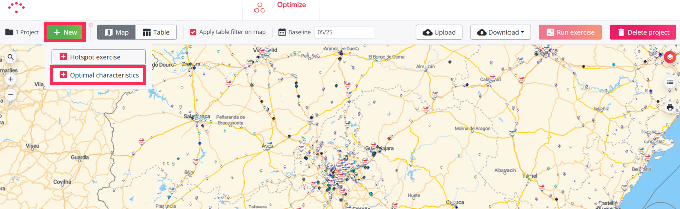
To start an Optimal location characteristics project, you have to follow the steps below:
- Create a project
- Select a period
- Choose a dataset
- Fill the template
- Upload the template
- Calculate the project
- Validate the results
- Analyze and select relevant locations for further analyses
- Export results
- How to create a simulation from tested locations (optional)
- How to add, remove, or update locations in your project (optional)